الطقس في كل فناء سريع
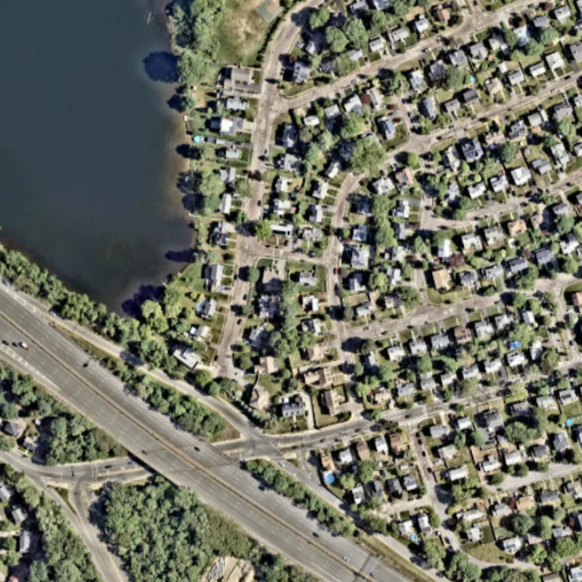
قد يختلف الطقس في الشارع المجاور عن طقسك: عند النهر يكون الجو أبرد، وعلى الأسفلت أكثر حرارة، وبين المباني تهب الرياح بقوة أكبر. التوقع العادي لا يرى هذا — فخليته بحجم مدينة وليس بحجم فناء. أخذ العلماء بيانات من آلاف المحطات الأرضية وصور الأقمار الصناعية للسطح وتعلموا بناء صورة الطقس الدقيقة من الصورة الكبيرة.
تشبه الطريقة ترميم صورة قديمة: الضربات الكبيرة معروفة، بينما تُستعاد التفاصيل الدقيقة من نسيج القماش. هكذا تمكنوا من تقليل خطأ الرياح بنسبة 29%، ودرجة الحرارة والرطوبة بنسبة 6% مقارنة بأفضل نموذج عالمي ERA5. ظهرت على الخرائط الجزر الحرارية الحضرية، والبقع الرطبة فوق الحقول والغابات، والرياح المختلفة فوق الماء واليابسة.
هذا النهج لا يستبدل فيزياء الغلاف الجوي، بل يضيف إليها معرفة بالسطح. إنه رخيص ويمكن أن يعمل لقارة بأكملها. في المستقبل، سيصبح التوقع لفناء أو حقل معين حقيقة واقعة.
الملخص الأصلي
كما كتبه المؤلفون، بالإنجليزية arXiv:2602.23146
Near-surface atmospheric conditions can differ sharply over tens to hundreds of meters due to land cover and topography, yet this variability is absent from current weather analyses and forecasts. It is unclear whether such meter-scale variability reflects irreducibly chaotic dynamics or contains a component predictable from surface characteristics and large-scale atmospheric forcing. Here we show that a substantial, physically coherent component of meter-scale near-surface weather is statistically recoverable from existing observations. By conditioning coarse atmospheric state on sparse surface station measurements and high-resolution Earth observation data, we infer spatially continuous fields of near-surface wind, temperature, and humidity at 10 m resolution across the contiguous United States. Relative to ERA5, the inferred fields reduce wind error by 29% and temperature and dewpoint error by 6%, while explaining substantially more spatial variance at fixed time steps. They also exhibit physically interpretable structure, including urban heat islands, evapotranspiration-driven humidity contrasts, and wind speed differences across land cover types. Our findings expand the frontier of weather modeling by demonstrating a computationally feasible approach to continental-scale meter-resolution inference. More broadly, they illustrate how conditioning coarse dynamical models on static fine-scale features can reveal previously unresolved components of the Earth system.
يمكن أن يصل الفرق في درجات الحرارة بين مركز مدينة كبيرة وضواحيها إلى 10 درجات — وهذه هي الجزيرة الحرارية الحضرية.