Salt in the Fields: How a Satellite Sees the Unseen express
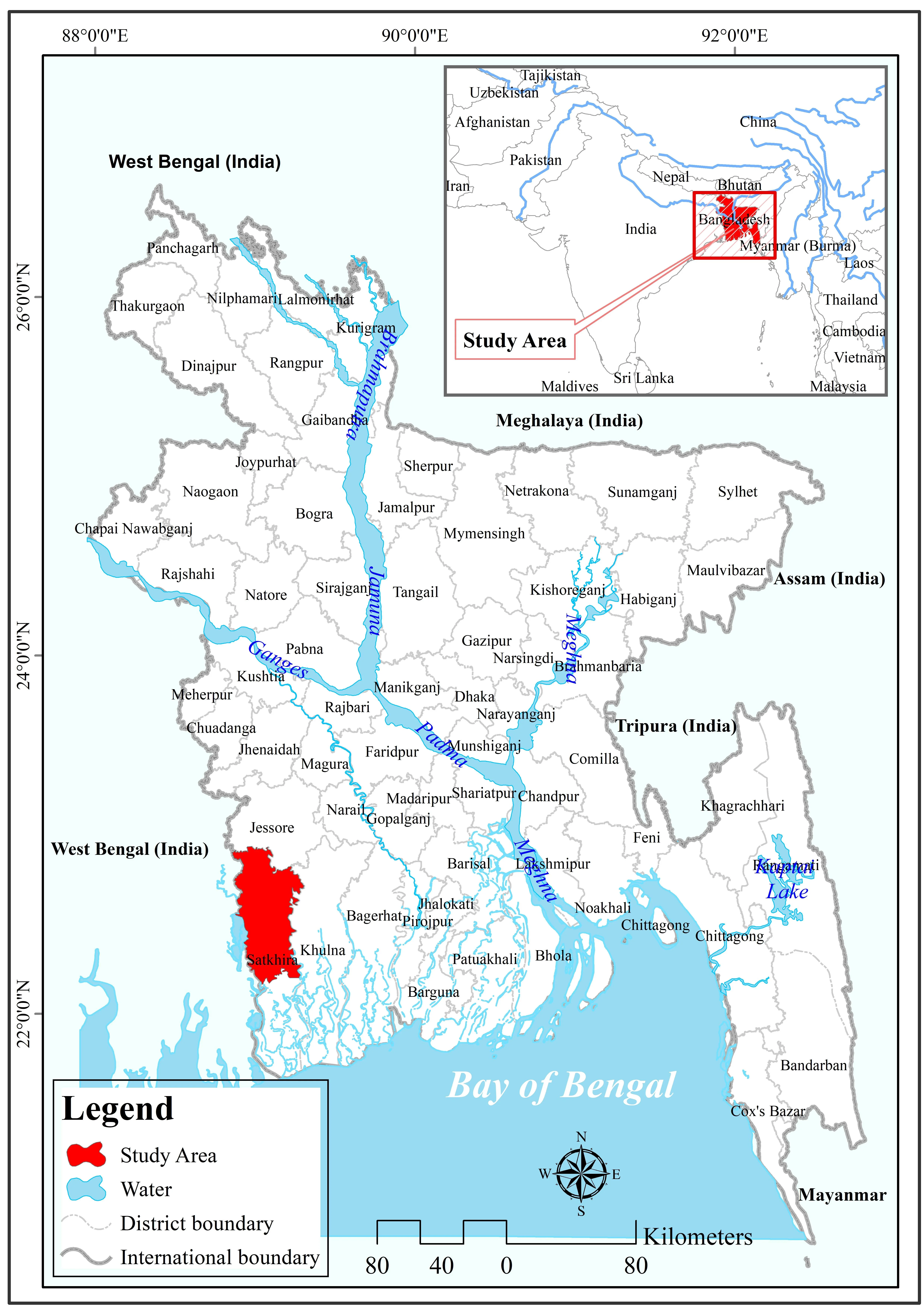
A rice field by the sea may look green, but the stalks are stunted and the grains are shriveled. Salt has silently poisoned the soil. In Satkhira district in southern Bangladesh, every farmer knows this scene. Salty water comes in with the tides, seeps into the ground, and the land stops yielding. To fight the problem, you first need to know where the salt is hiding beneath the roots.
Researchers collected 205 soil samples in 2024–2025 and measured their salt content. They then matched these numbers with Landsat satellite images. The satellite doesn't see the salt itself but indirect clues: how the vegetation color changes and how the soil reflects light in different parts of the spectrum. The XGBoost model (a very diligent agronomist that learns from hundreds of examples) learned to predict salinity from these clues. Another model — generalized additive model — helped refine the prediction.
Maps built over ten years (2014–2023) painted a worrying picture: patches of high salinity are not just staying put but spreading across the central part of the district. Southern and coastal areas suffer more, while northern inland areas are less affected. The researchers used spatial cross-validation (a clever way to keep the model from being fooled by neighboring points) and bootstrap (repeatedly shuffling the data) to assess how much they could trust the predictions. It turned out that uncertainty is higher in coastal zones, but when data from several years are combined, the predictions become more stable. This approach is like a regular health checkup for the land: you can keep an eye on salt constantly, without expensive field trips, just by updating satellite images.
Original abstract
as written by the authors arXiv:2604.23127
Soil salinity is a major environmental challenge in coastal Bangladesh, threatening agricultural productivity and local livelihoods. This study develops a machine-learning-based framework to predict and map soil salinity in Satkhira district by integrating field observations with Landsat-derived spectral indices. A total of 205 soil samples collected during 2024-2025 were used to train an Extreme Gradient Boosting (XGBoost) model, and predictions were further improved using a Generalized Additive Model (GAM). Spatial cross-validation was applied to reduce autocorrelation bias, and bootstrap resampling was used to quantify prediction uncertainty. The results show strong spatial variability of soil salinity, with higher concentrations in the southern and central coastal regions and lower levels in the northern inland areas. Vegetation indices, particularly NDVI, along with salinity-related spectral indicators, were identified as key predictors. 10-year-window peak-exposure maps generated for 2014-2023 reveal recurrent high-salinity zones and a persistent, expanding footprint of moderate-to-high salinity exposure across the central parts of the district. Uncertainty analysis indicates higher variability in coastal zones and improved prediction stability when multi-year datasets are combined. The proposed framework provides a robust and scalable approach for long-term monitoring of soil salinity. It supports climate-resilient agriculture, land-use planning, and evidence-based decision-making in coastal Bangladesh.
Landsat satellites have been imaging Earth since 1972, and their data are free for everyone. Thanks to this, scientists can track landscape changes for decades without leaving their desks.
In Andy Weir's novel The Martian, the hero survives by growing potatoes in alien soil. If he had such a model, he would have known in advance where there was too much salt and where he could plant.