Aircraft Reveal Atmospheric Humidity express
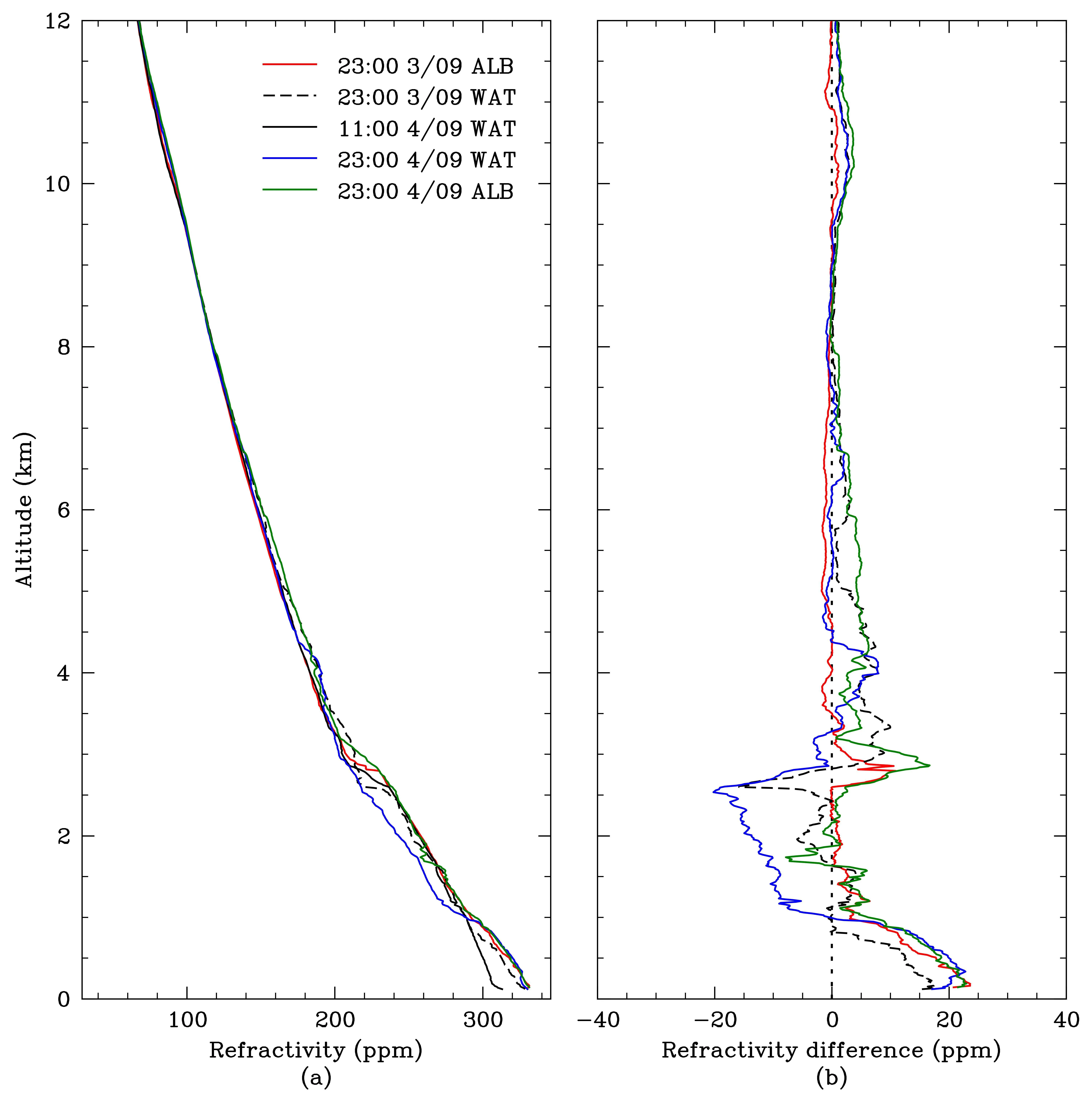
Every second, thousands of passenger aircraft in the sky transmit radio signals: that's how air traffic controllers track where each flight is. These signals don't travel in a straight line: air of varying humidity bends them like a lens. If you can measure that bending, you can work out where the air is drier and where it's more humid.
Scientists set up a ground-based receiver that picks up signals from several aircraft at once. The farther away and the higher the plane, the more its signal bends. By comparing the bending from different flights, you can build a vertical map of humidity. This technique is called ADSBi, after the signal that aircraft transmit.
Now meteorologists can see how moisture builds up before a thunderstorm and predict rain more accurately. It also helps pilots: knowing where the air is denser can save fuel.
A single aircraft flying over a city provides as much humidity data in one minute as a dozen ground weather stations do in an hour.