Why Diverting Rivers Could Leave Fields Without Rain
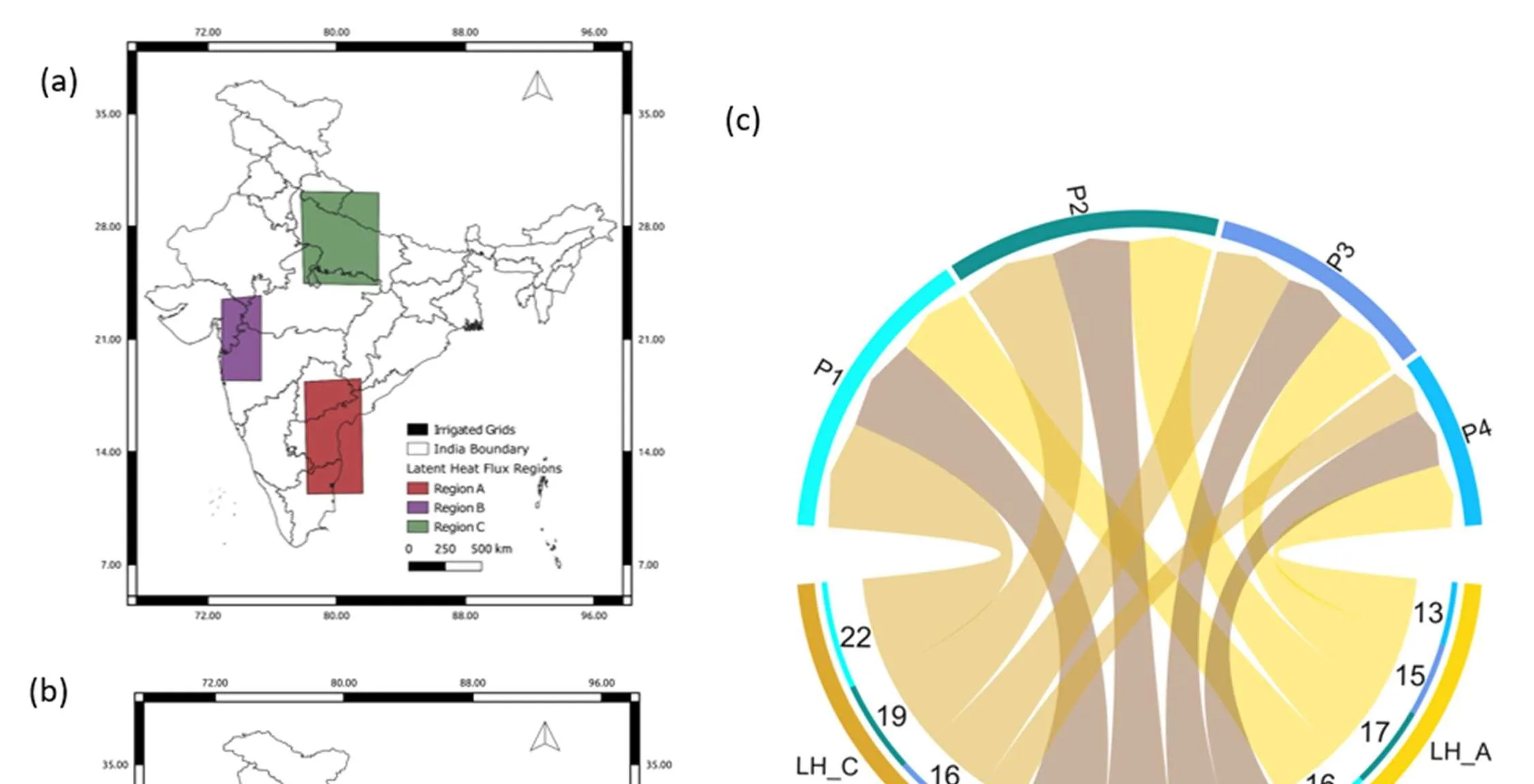
In India, it often happens that rivers overflow in one state while people queue for water in another. To fix this, the government plans to channel water from bountiful rivers to arid regions. But river basins are not separate buckets; they are linked through an invisible pipe in the sky. When water evaporates from fields, it rises into the air and can fall as rain somewhere else.
Scientists tested this on a computer. They took 40 years of weather data and calculated how the monsoon would change if irrigation were added, as under river interlinking. They found that September rainfall would drop by 12% in central and western India, including the arid regions of Rajasthan and Gujarat. In some years, the decrease reached 50% in Gujarat. At the same time, temperatures rose by 1°C, and the soil became drier.
Previously, it was thought that river basins do not affect each other because water does not flow across the land. Now it is clear that they are connected through the air, like communicating vessels. If you pour water from one bucket into another, some of it evaporates and falls as rain in a third place. Therefore, when planning river interlinking, we must consider not only the land but also the sky.
The planned canal network in India is about 15,000 km long, which is greater than the distance from Delhi to Sydney. The project aims to transfer 174 billion cubic meters of water per year, equivalent to the annual flow of the Nile River.
In Kim Stanley Robinson's novel "The Ministry for the Future," large-scale geoengineering projects that alter the climate are described, echoing the unintended consequences of river interlinking shown in this work.