Weather in Every Backyard express
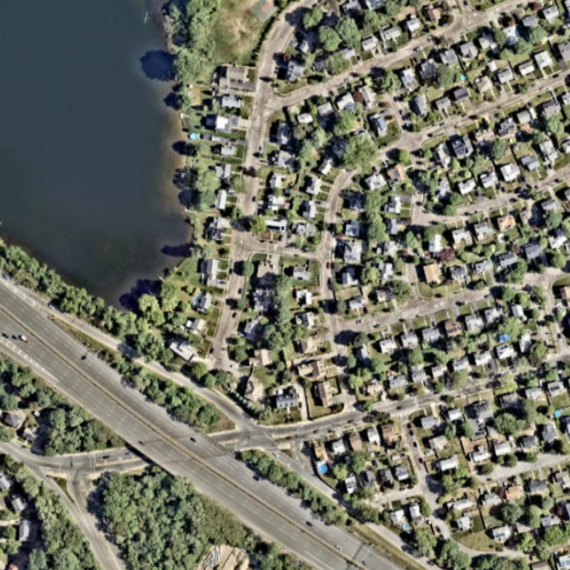
The weather on the next street can differ from yours: cooler by the river, hotter over asphalt, windier between buildings. A regular forecast misses this: its grid cell is the size of a city, not a backyard. Scientists took data from thousands of ground stations and satellite surface images and learned to fill in the fine-scale weather picture from the coarse one.
The method is like restoring an old photograph: the broad strokes are known, and the fine details are recovered from the canvas texture. This reduced wind error by 29% and temperature and humidity errors by 6% compared to the best global model, ERA5. The maps revealed urban heat islands, moist patches over fields and forests, and different winds over water and land.
This approach doesn't replace atmospheric physics; it adds knowledge of the surface. It's cheap and can work across a whole continent. In the future, a forecast for a specific backyard or field could become a reality.
Original abstract
as written by the authors arXiv:2602.23146
Near-surface atmospheric conditions can differ sharply over tens to hundreds of meters due to land cover and topography, yet this variability is absent from current weather analyses and forecasts. It is unclear whether such meter-scale variability reflects irreducibly chaotic dynamics or contains a component predictable from surface characteristics and large-scale atmospheric forcing. Here we show that a substantial, physically coherent component of meter-scale near-surface weather is statistically recoverable from existing observations. By conditioning coarse atmospheric state on sparse surface station measurements and high-resolution Earth observation data, we infer spatially continuous fields of near-surface wind, temperature, and humidity at 10 m resolution across the contiguous United States. Relative to ERA5, the inferred fields reduce wind error by 29% and temperature and dewpoint error by 6%, while explaining substantially more spatial variance at fixed time steps. They also exhibit physically interpretable structure, including urban heat islands, evapotranspiration-driven humidity contrasts, and wind speed differences across land cover types. Our findings expand the frontier of weather modeling by demonstrating a computationally feasible approach to continental-scale meter-resolution inference. More broadly, they illustrate how conditioning coarse dynamical models on static fine-scale features can reveal previously unresolved components of the Earth system.
The temperature difference between the center of a large city and its suburbs can reach 10 degrees: that's the urban heat island.