Weather in Every Backyard express
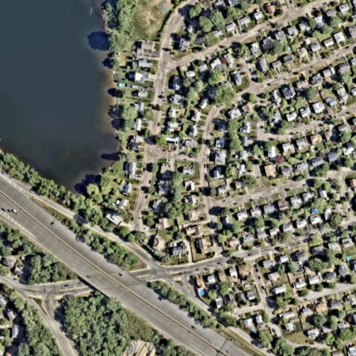
The weather on the next street can differ from yours: cooler by the river, hotter over asphalt, windier between buildings. A regular forecast misses this: its grid cell is the size of a city, not a backyard. Scientists took data from thousands of ground stations and satellite surface images and learned to fill in the fine-scale weather picture from the coarse one.
The method is like restoring an old photograph: the broad strokes are known, and the fine details are recovered from the canvas texture. This reduced wind error by 29% and temperature and humidity errors by 6% compared to the best global model, ERA5. The maps revealed urban heat islands, moist patches over fields and forests, and different winds over water and land.
This approach doesn't replace atmospheric physics; it adds knowledge of the surface. It's cheap and can work across a whole continent. In the future, a forecast for a specific backyard or field could become a reality.
The temperature difference between the center of a large city and its suburbs can reach 10 degrees: that's the urban heat island.