The Icy Pulse of the Monsoon: How Cloud Ice Predicts Rain
Every summer, rains called the monsoon fall over India. They determine crop yields and the lives of two billion people. But predicting how rainy the season will be is very difficult. Scientists are looking for clues in nature that could make forecasts more accurate.
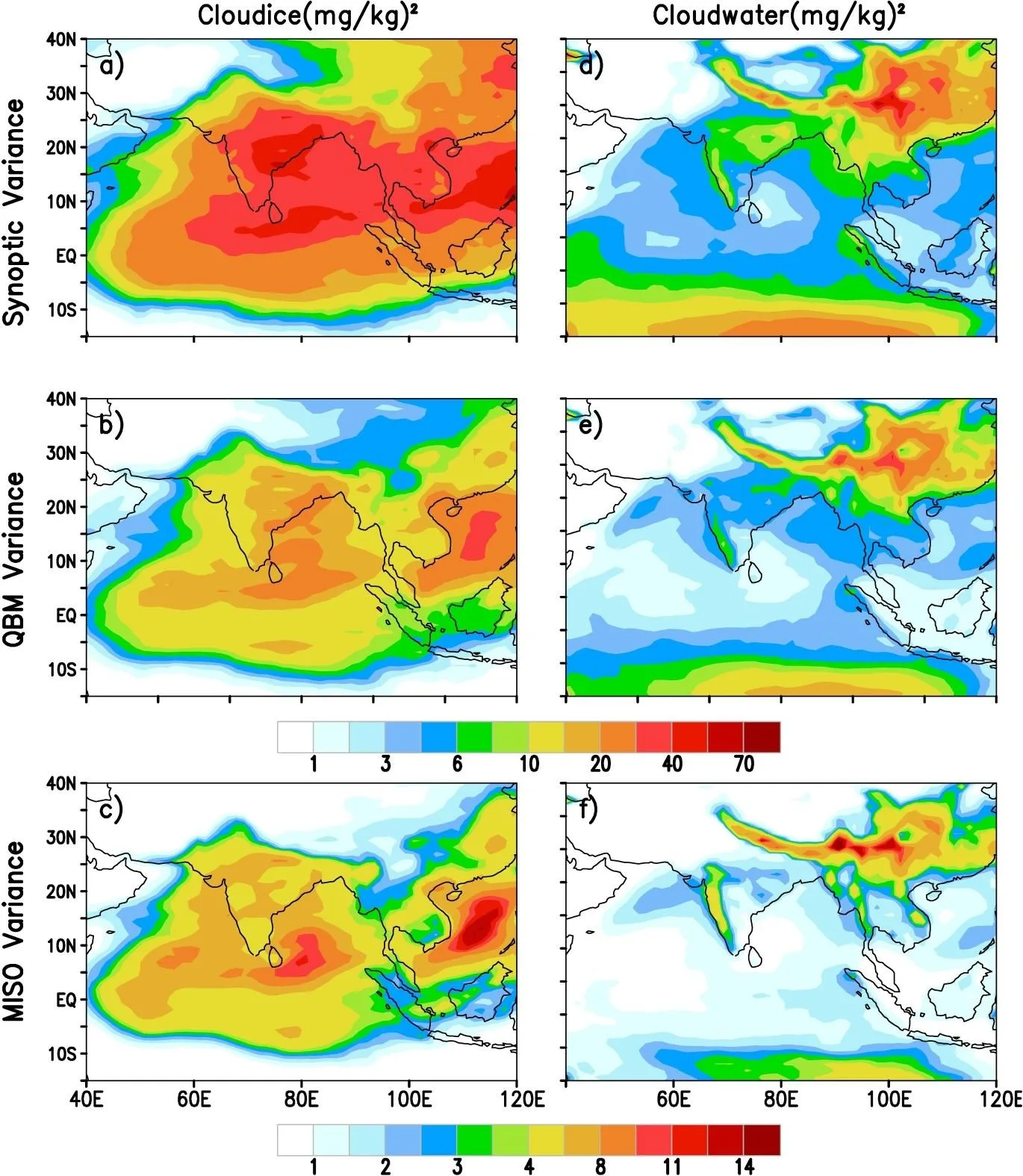
One such clue is cloud ice: ice crystals inside clouds. It turns out that the amount of ice in clouds over India varies on different timescales: 3–7 days, 10–20 days, and 30–60 days. The fastest, three-to-seven-day variability of ice is most strongly linked to how much total rain will fall in the season. If icy clouds 'pulse' frequently in this rhythm early in the summer, the season is likely to be rainy.
Why is ice so important? When a cloud contains many ice crystals, they grow, collide, and melt, releasing heat. That heat strengthens updrafts, and within 2–3 days a downpour begins. So icy clouds act as an early signal: they appear before the rain. The scientists tested this idea in a computer weather model. In the old version of the model, the link between ice and the ocean was wrong, but when they improved the description of how ice forms and grows, the model became better at predicting the monsoon. Now it is clear: to predict rain, you need to accurately describe ice processes in clouds.
About 40–50% of all rainfall events on Earth originate from melting ice. In the Indian monsoon, cloud ice over central India leads rainfall peaks by 2–3 days, acting as a natural harbinger of downpours.