El Niño Can Be Predicted a Year and a Half in Advance express
The Pacific Ocean breathes slowly and deeply. Every few years, its warm surface waters shift eastward toward the coast of South America, and then Peru gets drenched while Australia goes up in flames. A year or two later, the water retreats, and the picture flips. This breathing is called El Niño, and until now its rhythm could only be guessed a couple of steps ahead.
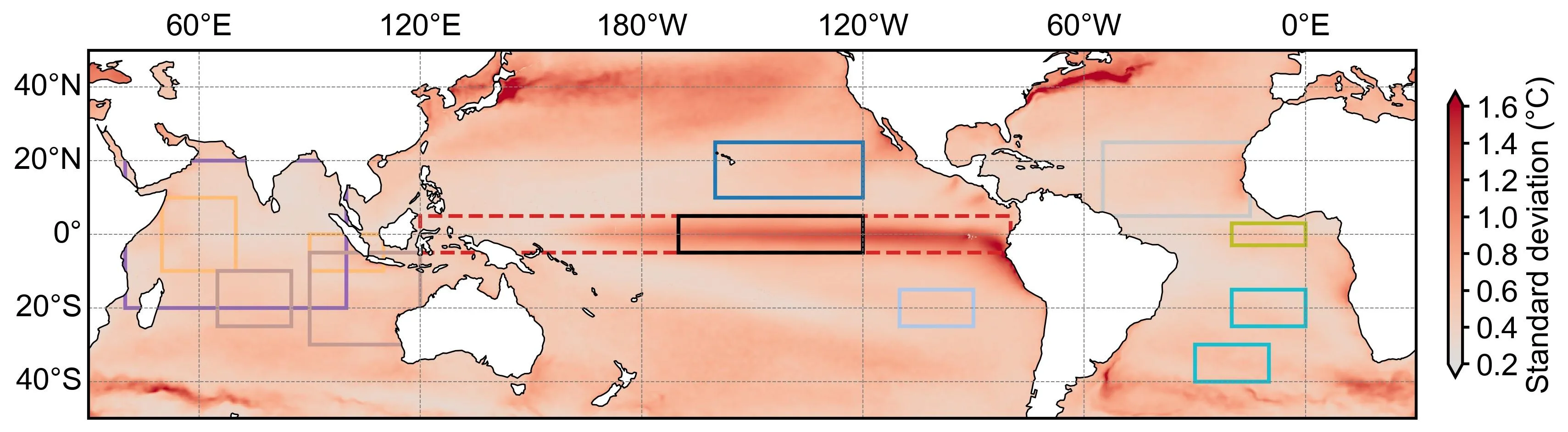
A team of researchers built a computer network that learns from past observations of the ocean and atmosphere. The network doesn't just memorize numbers: it leans on physics: how warm water piles up in the western Pacific, how that heat spills into other oceans and flows back. This approach let them see 16–20 months ahead, and in some cases as far as 24 months. All while the calculations take minutes on an ordinary laptop.
Computer experiments showed that if you artificially cut off the link between basins, the forecast deteriorates sharply. So it's the inter-ocean interactions that buy that extra time. Error analysis also revealed a limit: after about 30 months, the future of El Niño becomes fundamentally indistinguishable, like weather a month out.
A year and a half to two years of lead time is enough for farmers to pick different crop varieties, insurers to recalculate risks, and port authorities to brace for storms. You still can't stop the ocean's breathing, but now you can hear it sooner.
During the strong El Niño of 1997–1998, sea surface temperatures off the coast of Peru rose 4 degrees above normal — enough to wipe out a quarter of the world's coffee crop in Colombia.