Projection, in the context of geometry and physics, is the mathematical operation of mapping a higher-dimensional object onto a lower-dimensional surface. This concept is fundamental in many areas, from cartography (mapping the 3D Earth onto a 2D map) to theoretical physics, where it is used to visualize or analyze higher-dimensional spaces, such as in string theory or general relativity. A projection can be orthogonal, where the mapping is perpendicular to the target surface, or perspective, where lines converge at a point. The result is a lower-dimensional representation that may preserve certain properties, like angles or areas, but generally loses some information about the original object.
History
The concept of projection has roots in ancient Greek geometry, with stereographic projection attributed to Hipparchus and used for star charts. The formal mathematical treatment was developed in the 19th century with projective geometry, pioneered by Jean-Victor Poncelet and others.
How it works
Mathematically, a projection is a linear transformation that is idempotent — applying it twice gives the same result as applying it once. In practical terms, it involves taking each point of the higher-dimensional object and finding its corresponding point on the lower-dimensional surface along a specified direction or from a specified viewpoint. For example, a 3D cube can be projected onto a 2D plane by drawing lines from each vertex perpendicular to the plane, resulting in a square or a hexagon depending on the orientation. In physics, projections are used to decompose vectors into components, to reduce the dimensionality of a system, or to extract observable quantities from higher-dimensional theories.
In practice
Projections are used in computer graphics to render 3D scenes on 2D screens, in medical imaging to reconstruct 3D structures from 2D scans, and in physics to analyze systems with symmetries by projecting onto invariant subspaces.
Fun fact
In cartography, no flat map can preserve all properties of the Earth's surface — a fact proven by the impossibility of a perfect projection, leading to the famous trade-offs in map projections like Mercator (preserves angles) and Peters (preserves areas).
Cleaning speech from noise is like tuning an old TV: twist the contrast knob too far, and faces become unnatural. Researchers separately adjusted the 'volume' and 'time shift' for each frequency of sound, as if splitting it into a rainbow — a method known as spectroscopy. It turned out the key knob is volume, not phase synchronization.
A large neural network like Whisper masters hundreds of languages and resembles the standard model of the universe: everything is balanced. But training on a rare language disrupts this equilibrium — it turns into a black hole, pulling in all training resources. The network starts forgetting the other languages.
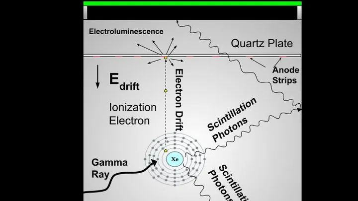
The camera that hunts for tumors works like a highly sensitive camera: it catches the faint glow from a substance that accumulates in diseased cells. In conventional machines, the light is born in a crystal — a solid piece that resembles glass. But a crystal doesn't always convey exactly where the light flashed, so the image comes out slightly blurry.
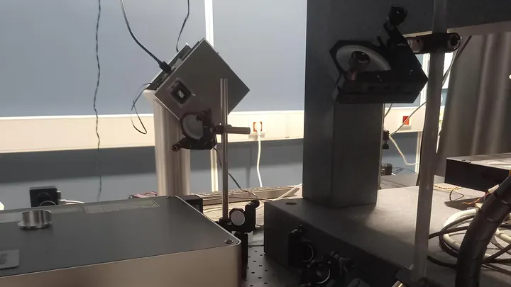
A typical 3D printer squeezes out plastic like a pastry chef piping cream from a bag. Here, instead of plastic, it's light. A laser beam draws in liquid resin, making it solidify at precise points. This creates parts too small to see without a microscope.
Until now, such printers were slow: the beam crawled across the surface like a pen on paper.