The Niño 3.4 region is a rectangular area in the equatorial Pacific Ocean, spanning from 120°W to 170°W longitude and 5°N to 5°S latitude. It is one of several designated 'Niño regions' used by climatologists to track sea surface temperature anomalies that indicate the state of the El Niño–Southern Oscillation (ENSO). When the average temperature in this region deviates from its long-term mean by more than 0.5°C for several months, an El Niño (warm) or La Niña (cool) episode is declared.
History
The Niño region designations were formalized in the 1980s by the Climate Prediction Center and other research groups, with Niño 3.4 later adopted as the primary index for ENSO monitoring.
How it works
The region is chosen because it captures the area where ocean–atmosphere coupling is strongest and where temperature changes are most directly linked to shifts in the Walker circulation. Monitoring involves averaging satellite and buoy measurements of sea surface temperature across the region, then comparing them to a 30-year climatological baseline. The resulting anomaly index, often called the ONI (Oceanic Niño Index), is the standard metric for defining ENSO events.
In practice
It is used operationally by meteorological agencies worldwide to issue ENSO alerts and seasonal outlooks, influencing decisions in agriculture, water management, and disaster preparedness.
Fun fact
The Niño 3.4 index is so widely used that a single value from it can trigger global media headlines about an impending El Niño.
The Sun is a giant nuclear reactor that continuously sends us light and heat. But it also has another, almost silent postal service: every second, tens of billions of neutrinos, ghostly particles born in the thermonuclear furnace, fly through a square centimeter of your palm. Most of them leave no trace.
Light from a distant star seeps through a planet's gaseous envelope, and astronomers try to guess what that envelope is made of. That's how we study the atmospheres of worlds we can never touch. When a planet passes in front of its sun's disk, its gaseous veil briefly intercepts some of the rays.
Neutrinos are tiny particles that pass through the planet's bulk like light through a windowpane. Every second, billions of them fly through your pinky fingernail, but catching even one is no easy feat. To do it, scientists dug a two-kilometer-deep mine in Canada and installed the SNO+ detector.
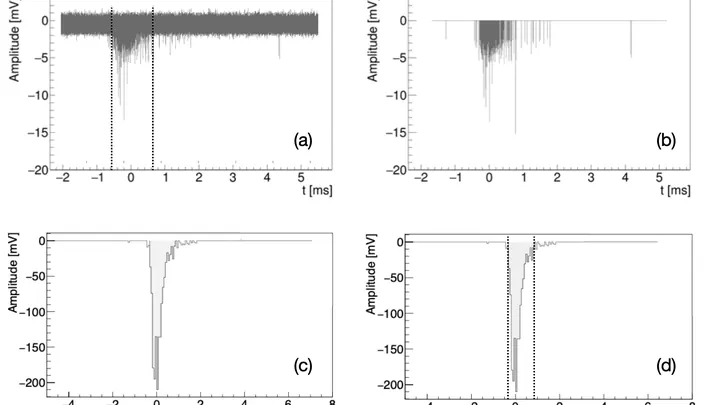
Deep in a cave beneath the Italian Apennines, a tank of gas sits in the dark. Inside, charged particles fly through, leaving faint flashes of light in their wake. These flashes are like the wake of a boat on dark water: they reveal where the particle went and how fast.
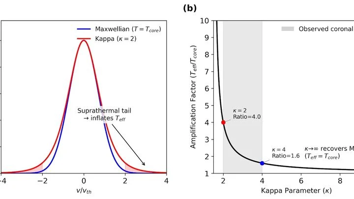
For eight consecutive years, two different methods of measuring the temperature of the solar corona have given different answers. One instrument, a radio telescope in Nancay, sees 600 thousand degrees. The other approach, calculating from how the gas is distributed with height, requires 1.5 million.
The bronze plates of a gamelan do not sound according to a single tuning standard: each orchestra on Java keeps its own tuning, and two neighboring ensembles may play the same melody in slightly different intervals.
At the outskirts of the Solar System, beyond Neptune's orbit, millions of icy chunks circle the Sun — leftover building material from the era of planet formation. Astronomers call them trans-Neptunian objects, and they have a peculiarity: their surfaces are painted in various shades of red. Some are merely reddish, like rust, while others are very red, like dried blood.
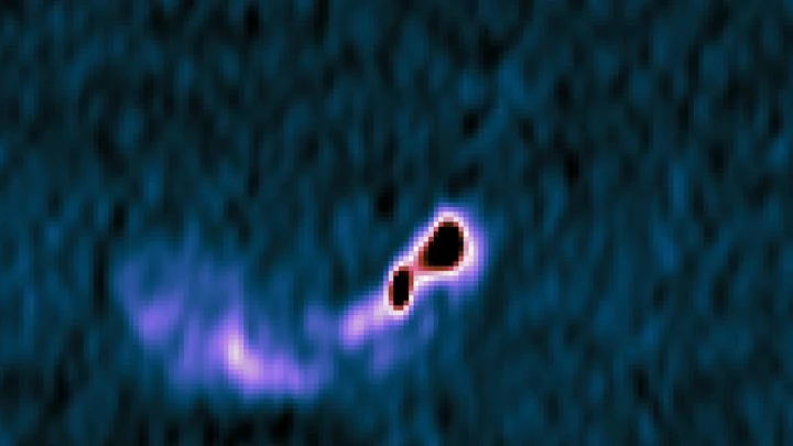
At the center of nearly every large galaxy sits a supermassive black hole. It pulls in gas and dust, and a bright disk swirls around it. But the James Webb Telescope looked further out — into a region where the black hole's light is weaker, yet the dust still glows.
Astronomers examined eight galaxies.
The Pacific Ocean, ten thousand kilometers wide, breathes: warm water shifts eastward, cold water retreats, and this in-and-out repeats every few years. A model that captures this breathing takes weeks of computation even on a supercomputer.
Every few years, the Pacific Ocean changes its character. Sometimes it warms up off the coast of South America, which is called El Niño, and sometimes it cools down, bringing La Niña. For someone on the other side of the planet, this is not just a weather report item. The ocean acts as a conductor, setting the tempo for heat and drought over Eurasia.
A translator who gets distracted by every rustle in the room turns a one-hour meeting into two. That is how old statistical El Niño models worked: they picked out individual numbers from ocean maps but missed how a warm patch off Peru connects to a cool tongue near Australia. The new neural network behaves differently: it follows not every word but the meaning of the paragraph.
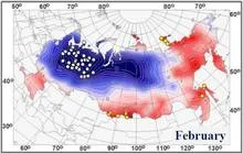
A conductor in a concert hall waves a single baton, yet violins and timpani respond differently. Likewise, the warm patch in the Pacific Ocean known as El Niño makes different corners of Russia experience completely different winters under the same phase. Somewhere snow melts in January, while elsewhere frosts intensify to the limit.
Every night, an invisible sentinel hangs over the Andes. The GOES-12 satellite, and later its successor GOES-13, watches Earth from an altitude of 36,000 kilometers, recording how the mountains breathe clouds. For five straight years, it tracked where the sky stayed clear and where it got wrapped in cotton.