Geophysics is the branch of physics that studies the Earth's physical properties and processes — its gravityfield, magnetic field, seismic waves, heat flow, and internal structure. It bridges geology and physics, using quantitative methods to probe what lies beneath the surface without direct observation. From mapping the ocean floor to monitoring volcanic activity, geophysics provides a window into the planet's dynamic interior and its evolution over billions of years.
History
The field emerged in the late 19th century with the development of precise instruments for measuring gravity and magnetism, and it gained major momentum after the 1906 San Francisco earthquake, which spurred systematic seismological research. The theory of plate tectonics, confirmed in the 1960s, was a triumph of geophysical data synthesis.
How it works
Geophysicists measure physicalfields and signals that propagate through or emanate from the Earth. For example, gravity mapping detects variations in the gravitational pull caused by density differences in the subsurface; seismology uses the travel times of earthquake-generated waves to infer the layering of the crust and mantle; and electromagnetic surveys measure conductivity to locate water or mineral deposits. These measurements are inverted mathematically to build models of the Earth's interior.
In practice
Geophysics is used in natural resource exploration (oil, gas, minerals), earthquake hazard assessment, groundwater mapping, and even planetary science — the same techniques are applied to study other planets and moons.
Fun fact
Neutrino tomography, a cutting-edge geophysics technique, uses particles that pass through the entire Earth to create 3D images of the planet's interior, much like X-rays image the human body.
The Sun breathes, and that breath has a magnetic rhythm. Every 27 days, the visible surface of the star makes a full rotation, and with it, its magnetic field, like an invisible ribbon wrapped around the star.
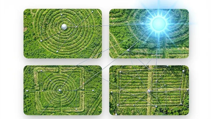
Deep in the Amazon rainforest, beneath a multi-layered canopy of leaves, lie vast earthen figures — squares, rectangles, the occasional rhombus. For decades they teased archaeologists with their silent geometry, until a researcher armed with orbital optics saw them as an astronomical instrument.
For almost a century, seismology has been the planet’s chief X-ray, probing the interior through elastic waves. But neutrinos, ghost particles predicted by Wolfgang Pauli, offer a different perspective.
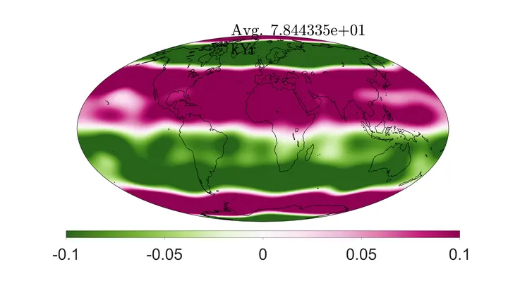
Earth's magnetic field is like an invisible shield that protects us from cosmic radiation. But if you look closely at its long-term averaged pattern, you'll notice that this shield isn't perfectly smooth: it has its own "seams" and "patches." New research using computer simulations of the geodynamo shows that…
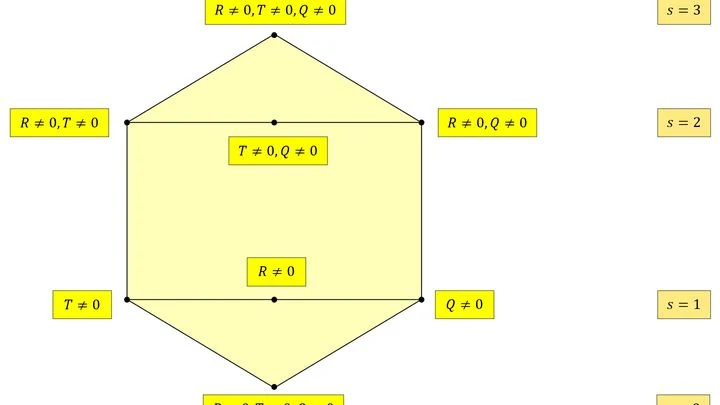
Gravity is usually explained through the curvature of spacetime. Massive bodies press it down like a bowling ball on a stretched rubber sheet. But this approach has two lesser-known twins. In one, gravity arises from torsion (twisting) of spacetime; in the other, from its non-metricity (when lengths and angles change during transport).
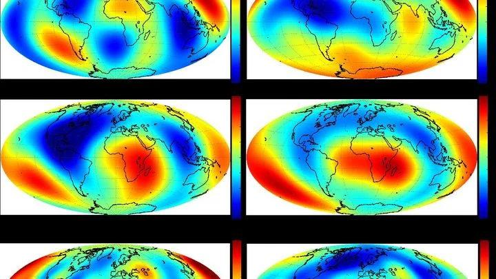
Gravity satellites have noticed that Earth's gravity field breathes imperceptibly with a period of about six years. It's as if an invisible pendulum swings the planet from within, and every six years the scale's needle shifts slightly. The signal turned out to be so clean that it could be separated from the noise of oceans and melting glaciers.
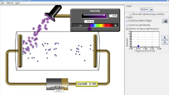
Understanding the photoelectric effect — where light knocks electrons out of a material — is like learning to cook without a recipe. That’s where digital tools help: games provide intuition, and simulations provide precision.
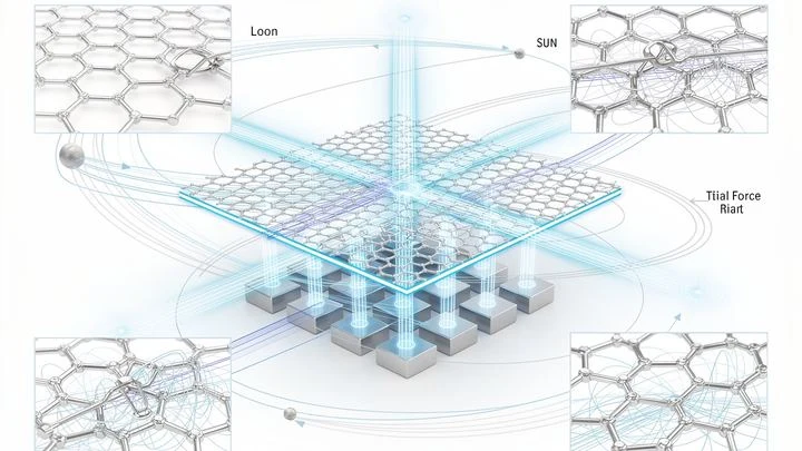
In the quiet of a laboratory, a graphite flake hovers above a magnetic grid. This is not just a demo of diamagnetism's magic — it's listening to the Universe. Like a spider casting its web to catch vibrations from an invisible world, this flake has become a gravitational web.
Imagine a mountain range where height represents an organism's fitness. Every point on the slope is a particular set of genes. Evolution climbs upward, but the terrain of this phylogenetic network landscape is cut by ridges and valleys.
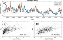
Magnetic fields on the surface of the Sun appear as dark spots and bright faculae. But they are born deep inside, where flows of hot gas act like a giant dynamo. The question is whether sunspots on the surface can predict what will happen inside the star years from now.
The authors applied a mathematical theorem similar to the rule linking the area of a shape to its boundary.
At night, an astronomer points a telescope at the edge of the visible universe and sees not stars but ripples — the imprint of the first moments. He knows these ripples should obey statistics, like the heights of people in a crowd. But he has only one crowd, and nothing to compare it with.
This is cosmic variance.