The Niño 4 region is a specific rectangle of the equatorial Pacific Ocean used by climatologists to track sea-surface temperatures. It spans from 160°E to 150°W longitude and lies between 5°N and 5°S latitude. This area is one of several 'Niño regions' that help scientists monitor the El Niño–Southern Oscillation (ENSO), the natural climate cycle that shifts warm water across the Pacific and influences weather worldwide.
History
The Niño region definitions were formalized in the 1980s by scientists studying ENSO, with Niño 4 being the westernmost of the standard boxes.
How it works
Niño 4 sits in the western-central Pacific, where ocean temperatures are normally among the warmest on Earth. When the trade winds weaken, warm water that usually piles up near Indonesia sloshes eastward, raising temperatures in Niño 4 and other regions. By averaging sea-surface temperature anomalies over this box, researchers get a clean index of how much the ocean has departed from its long-term average, which feeds into seasonal forecasts.
In practice
Niño 4 temperature anomalies help predict rainfall patterns in Southeast Asia, Australia, and parts of the Americas, and are used in operational climate models.
Fun fact
Niño 4 is the region where the strongest El Niño events of 1982–83 and 1997–98 first showed their warming signature.
Beyond Neptune's orbit lies an ocean of icy islands that has remained nearly unchanged for four billion years. These islands, known as trans-Neptunian objects, hold the recipe for planet formation. Until recently, astronomers could only see the large ones, while the small, city-sized ones stayed invisible.
A translator in a conference hall tries to convey the speaker's words, but the hall is noisy: someone coughs, chairs creak, and the street outside is loud. If the speaker lowers their voice, the translator still keeps translating, but their voice drowns in the noise.
A student who has spent years solving problems from other people's textbooks suddenly receives three notebooks with real ocean observations. There are few problems, but they have already seen hundreds of similar ones, and now a couple of examples suffice to catch the new teacher's style.
A tuning fork produces a pure tone, but if you strike it too hard, it starts to rattle, and a musician might mistake that rattle for complexity in the sound.
In the Pacific Ocean, there is a warm current that flows eastward against all the others. It is called the North Equatorial Countercurrent, or NECC. In normal years, this band of warm water, a few hundred kilometers wide, quietly carries heat from Indonesia toward the Americas.
An orchestra plays in a dark hall, and the listener hears only a hum: hundreds of instruments blend into a dense noise in which no melody can be discerned. That is roughly what spectra extracted from climate data by methods like the Koopman operator look like: hundreds of components, each with its own frequency, and it is unclear which ones are true musicians and which are the rattling of chairs.
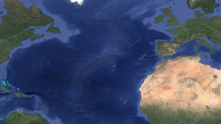
In the Atlantic, a giant invisible conveyor operates: warm surface waters flow north, cool, sink, and return south. This circulation, AMOC, carries heat, making Europe noticeably milder than Canada at the same latitudes. But the conveyor isn't eternal: if diluted by fresh water from melting Greenland ice, the engine stalls.
Neutrinos are tiny particles that pass through the planet's bulk like light through a windowpane. Every second, billions of them fly through your pinky fingernail, but catching even one is no easy feat. To do it, scientists dug a two-kilometer-deep mine in Canada and installed the SNO+ detector.
The Sun pulses in a slow rhythm, and that rhythm can be heard in the rains over Brazil. Sunspots on the solar disk thicken and thin roughly every eleven years, and along with them, pressure in the Pacific Ocean shifts, sea surface temperatures change, and then rainfall amounts in the northeast of the country follow suit.
In 2023, the ocean off the coast of Peru warmed so much that fishermen came back empty-handed, while meteorologists argued over the strength of the upcoming El Niño. The sea surface temperature map they were looking at was the only one available, but how much could they trust it?
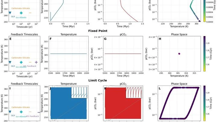
A planet's climate is like an old spring mattress: press down on one edge, the springs compress; let go, they rebound and put everything back. Earth has three such springs, working as a team. Carbon dioxide weathers out of rocks, clouds reflect sunlight, and ice caps bounce heat back into space. Together, they keep the planet from boiling or freezing.
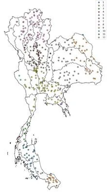
Tuning an old radio receiver requires patience: you slowly turn the dial, catch a crackle, turn it again, until a voice emerges through the static. In much the same way, a reinforcement learning agent searched the ocean for two patches whose temperature difference best predicts rains in Thailand.
Any device, from a toaster to a smartphone, heats up when operating. This is the inevitable result of energy conversion — there's always a heat trace left, like a hot stove burner after cooking.
An orchestra of a hundred musicians plays without a conductor. As long as the score is familiar, each player confidently follows their part, and together they sound harmonious. But when the composer changes the rhythm, discord creeps in: some instruments keep playing the old tune, others try to adapt, and a few fall silent.
An orchestra of two musicians plays from the same score, but each hears only their own line. The atmosphere and ocean in a climate model resemble such a duet: they exchange heat and moisture every few hours, yet until recently their neural network counterparts could not keep a common rhythm.
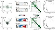
The ocean hums like a crowded hall: in one corner, voices argue about decades; in another, about years; in a third, about the changing seasons. To pick apart these voices, climatologists used to rely on filters they tuned themselves, letting through only slow waves or only fast ones. But the Pacific plays by its own rules: a warm patch off the coast of Peru can be a brief spike or part of a long-term rearrangement.
Imagine an interpreter in a huge hall who hears not only the person next to them but also a whisper in the far corner, and from those fragments reconstructs the entire conversation. That's how the CAS-Canglong neural network works: it picks up connections between pressure, wind, and heat across the whole planet and uses them to predict what the ocean will look like three months from now.
A fisherman casts his net into murky water, and an hour later the catch is thrashing on the deck. That's roughly how Episcanner works: it sifts through 14 years of disease records and pulls out every fever outbreak in every one of Brazil's 5,570 municipalities. From 2010 to 2023, the net caught 18,567 dengue epidemics and 2,199 chikungunya epidemics.
Water remembers. Every current, every eddy, every degree of temperature in the ocean's depths does not vanish without a trace; it leaves a mark that can be read. But until recently, that mark was read only by bulky physical models that spent weeks on supercomputers and still got the details wrong.
Every year, the same drama unfolds over West Africa: from June to September, the sky fills with moisture and releases rains that determine the harvests of millet, sorghum, and maize. This rainy season is driven by the West African monsoon, a giant atmospheric pump that pulls moist air from the ocean deep into the continent.
Imagine sensitive scales scattered across Europe. Each GPS station is one such scale, recording daily how much the ground beneath it has risen or fallen. When water accumulates underground, the surface sags slightly; when water leaves, the surface lifts. These movements are tiny, on the order of millimeters, but the stations pick them up.
Seventy-five years of weather observations in India, when plotted on a graph, resemble the cardiogram of a vast organism. Instead of a single steady pulse, there are fifteen different lines, each with its own rhythm. Somewhere the heartbeat is as steady as a sleeping person's, while elsewhere it falters, as if after a quick run.
The Atacama Desert in northern Chile is the driest non-polar place on Earth. The sky is almost always clear, and the air is so devoid of moisture that even distant galaxies are visible without interference.
The Pacific Ocean spans half the planet, and its mood decides whether India gets rain or Australia gets drought. In the center of this giant, in a region that climatologists call NINO3.4, water temperatures rise and fall, affecting millions of lives.
Sumatra's mountain range works like a stamping press: easterly winds hitting the slopes leave a chain of rotating imprints in the air behind the island. These vortices, like blanks on an assembly line, detach from the land and drift over the ocean, where some of them grow into tropical cyclones.
A doctor who has followed the same patient for years learns to predict flare-ups from subtle signs: a slight pallor, labored breathing, restless sleep. The ocean is just such a complex patient, only instead of a thermometer it has thousands of buoys and satellites, and instead of a medical history, seventy years of daily measurements.
Soil breathes. The top layer of the earth takes in moisture after rain, then releases it into the air, much like lungs inhale and exhale. This inhalation and exhalation happens everywhere on the planet, but its rhythm is not uniform: in some places it is fast and steady, in others irregular and deep.
Imagine a house of cards where each card supports the others. One wobbles, and the neighbors start to lean. Earth's climate system works similarly: ice sheets, ocean currents, tropical forests, all are connected. If one element crosses a threshold, it can drag the rest down with it.
Over the Pacific Ocean, giant seesaws swing back and forth. Warm water pushes against the coasts of South America, and El Niño begins; a few years later, the ocean surface cools, and the seesaw tips the other way, into La Niña. These oscillations last for years and reshape cloud cover, rainfall, and wind across an entire continent.
Earth's climate resembles a choir, where each member sings their own part at their own pitch. Some voices hold low notes, like multi-year ocean temperature oscillations, while others produce rapid trills, like short atmospheric waves. The conductor needs to hear each one, but the voices overlap and the notes blend into a mush.
It takes eight years for a wave to circle Antarctica. It carries warmth and cold in turn, and sea ice advances and retreats with its crests. Previously, researchers caught this wave using different methods and saw either a propagating signal or a frozen dipole. Now it's clear: the dipole is just a snapshot of the wave when it stretches between two oceans.
Every summer, the same performance unfolds over the Indian Ocean: moist air rushes from the sea onto the scorched land, bringing rains that billions of people depend on.
For a century, climatologists have measured the ocean's pulse with a barometer. Indices like El Niño or the North Atlantic Oscillation are built on atmospheric pressure differences between two points, and then we wonder why rivers don't obey.
Picture a map of China with sparse green patches scattered across a yellow desert. Those patches are where the GloSea5 climate model can genuinely look three months ahead, while the desert is everything else, where its forecasts are no better than a coin toss.
The river that circles Antarctica does not flow in a single channel: it sometimes splits into branches, sometimes merges into one stream. That is what the fronts of the Southern Ocean look like on maps built from satellite data on sea surface height. Previously, these fronts were sought along lines of equal water level, and they seemed to creep slowly southward.
In 1972, anchovies vanished off the coast of Peru. Fishermen were left empty-handed, and the world learned the word El Niño. Since then, scientists have been searching for ways to predict when that warm current will once again upend the planet's weather.
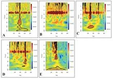
An orchestra without a conductor: the instruments set their own rhythm. That is how one might describe the climate system of the Indo-Pacific region, where sea surface temperatures oscillate across many time scales, from seasonal to multi-decadal. Previously, to hear a single instrument, you had to pre-tune filters, cutting off everything else.
In 1997, the Pacific Ocean off the coast of Peru warmed so much that fish disappeared and torrential rains hit the desert. This is El Niño, a warm current that every few years changes weather across the planet. Predicting its arrival six months ahead is already possible, but looking further is like guessing a ship's route from a single point on a map.
Every night, an invisible sentinel hangs over the Andes. The GOES-12 satellite, and later its successor GOES-13, watches Earth from an altitude of 36,000 kilometers, recording how the mountains breathe clouds. For five straight years, it tracked where the sky stayed clear and where it got wrapped in cotton.