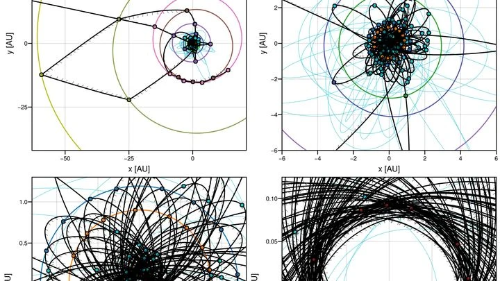
GPS, or Global Positioning System, is a satellite-basednavigation system that provides precise location and time information anywhere on Earth, under any weather conditions. It operates through a constellation of satellites that transmitsignals to receivers, which calculate their position by triangulating the time delays of these signals. The corpus titles extend GPS applications beyond everyday navigation, using it to map magnetic fields, detect gravitationalwaves, and study orbital dynamics, showcasing its versatility in scientific research.
History
The GPS system was developed by the U.S. Department of Defense, with the first satellite launched in 1978 and full operational capability declared in 1995. It was preceded by earlier systems like TRANSIT, but GPS became the first global, high-precision navigation system.
How it works
GPS relies on a network of at least 24 satellites in medium Earth orbit, each broadcasting its position and the exact time from an onboard atomic clock. A GPS receiver captures signals from multiple satellites and computes the distance to each by multiplying the signal travel time by the speed of light. With distances to at least four satellites, the receiver solves for its three-dimensional position and time offset, achieving accuracy of a few meters for civilian use and centimeters with augmentation systems.
In practice
GPS is used in navigation for vehicles, ships, and aircraft, as well as in scientific applications like monitoring tectonic plate movement, atmospheric studies, and synchronizing telecommunications networks.
Fun fact
GPS satellites carry atomic clocks that must be adjusted for relativistic effects—they tick slightly faster in orbit than on Earth, and without correction, GPS would drift by about 10 kilometers per day.
Getting lost in a hall of mirrors is easy: every wall reflects another, and you feel like you've been here before. The brain gets similarly confused when surrounded by many similar places. Neurons responsible for the spatial map can fire the same signal for two different corners of a room. This is called spatial ambiguity.
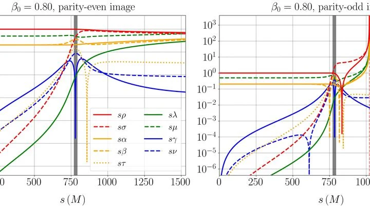
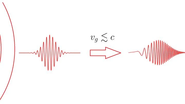
Light bends in a lens — everyone knows that. Gravitational waves passing a massive body also curve their path. But the authors of this work looked further: what happens to the wave's very "color" — its polarization, that is, the direction of oscillation?
Gravitational lensing is the deflection of…
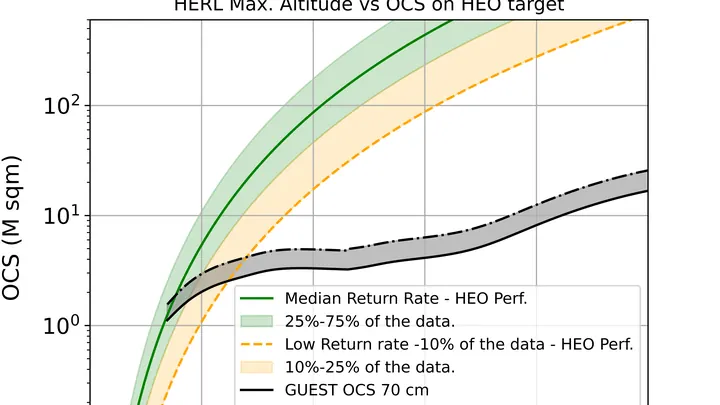
In 2034, a rocket leaves a spaceport with an unusual payload: two spheres the size of a large globe, each weighing nearly a ton. No engines, no electronics. Just a mirrored surface of hundreds of corner-cube reflectors — tiny prisms that return light exactly to where it came from. This is the future space tuning fork.
A mirror can direct a reflected beam onto one spot, even as it rotates. Engineers borrowed this trick for radio waves, building a smart mirror on a drone. It cancels out shakes and vibrations on the fly: it anticipates the drone's movements and instantly re-aims to keep the signal crisp.
A group of robot explorers is like a team of cooks tasting the same dish. Each samples their own portion and shares an impression: clear, occupied, or uncertain. But tastes are subjective — one might miss a chair leg, another might only lick the edge.
At the heart of the system is a rail with clip-on antennas moving along it, each emitting a radio signal. The smartphone receives these and, knowing the speed of light, calculates the distance to each antenna from the time delay.
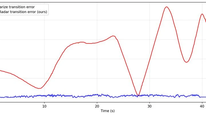
A regular radar works like an amateur photographer: it takes a series of blurry snapshots and tries to stitch them into a panorama. Details are smeared, and in a long corridor or crowd, the robot easily gets lost.
The principle is simple: like a bat, the radar emits a wave and catches the echo.
A person in a boat turns by shifting their body weight. An unmanned vessel uses the same trick: a sliding weight inside the hull does the steering. Its movement is controlled by a neural network, anticipating the chaos of waves and gusts of wind. The propeller pushes the boat forward, while the weight shifts balance — like moving from one foot to the other.
A solar sail doesn't move on water but in space, and it's pushed not by wind but by the pressure of sunlight. Such a spacecraft can fly for years without spending a drop of fuel. Steering it is like sailing a yacht across an ocean where the currents are planetary gravity and the gusts of wind are shifting sunlight.
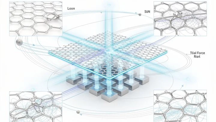
In the quiet of a laboratory, a graphite flake hovers above a magnetic grid. This is not just a demo of diamagnetism's magic — it's listening to the Universe. Like a spider casting its web to catch vibrations from an invisible world, this flake has become a gravitational web.
A stone falls into a well, and the splash reaches your ears with a delay. Something similar happens to light as it leaves Earth: its oscillations become less frequent, the beam seems to 'tire.' This is gravitational redshift — a phenomenon Einstein spoke of a century ago.
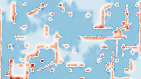
Drylands are like skin cracking from dehydration. When rainfall decreases, plants don't vanish overnight: they rearrange, leaving bare patches of soil between them. These patterns are visible even from space.
Scientists compared satellite images of eight arid regions, from the Sahel in Africa to Australian deserts.
Imagine a mountain range where height represents an organism's fitness. Every point on the slope is a particular set of genes. Evolution climbs upward, but the terrain of this phylogenetic network landscape is cut by ridges and valleys.
Beneath city streets lies a web of fiber optics — hundreds of kilometers of glass threads carrying the internet. But accurate maps of this web are often lost or outdated. Finding a cable underground is like feeling for a wire inside a wall without knowing where it runs.
This new method turns the cable itself into an ear.
A comet hurtling through space is a mountain of ice and dust that carries itself across the Solar System. If you mount small engines on such a mountain, it becomes a ship with its own fuel: gas from the interior can be vented through nozzles to change course.
The Sun is not a calm sphere. Waves constantly ripple through its interior, like a bell after being struck. These oscillations reach the surface and reveal what's happening on the far, invisible side. Astronomers have long been able to 'listen' to this ringing and find large sunspot groups there.
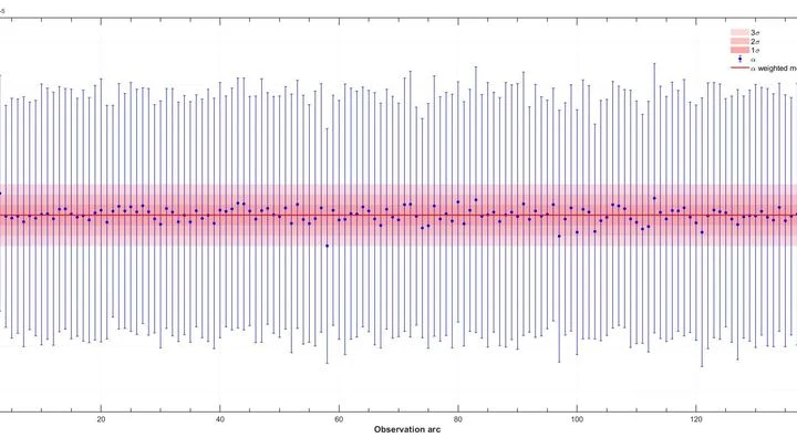
Gravitational waves are ripples in space, born, for example, when pairs of supermassive black holes spiral around each other. To catch them, scientists monitor pulsars — dead stars that emit radio pulses with clockwork precision.
At the center of our Galaxy lurks the supermassive black hole Sagittarius A* — a heavyweight that holds stars in its grip. Astronomers dream of finding pulsars near it: these cosmic lighthouses emit radio pulses with the precision of atomic clocks.
In August 2017, gravitational wave detectors caught a signal from the merger of two neutron stars — the ultra-dense remnants of exploded stars. At that very moment, life on Earth was business as usual: planes were landing, cars were driving, and navigators were plotting routes.
A spring scale in a geologist's backpack responds sensitively to every mountain and valley beneath their feet. But springs get tired, and their readings drift — the instrument needs frequent recalibration against a reference. An atomic gravimeter measures gravity flawlessly, but it's the size of a refrigerator and doesn't like being jostled.
Earth's magnetic field is like an invisible river that meanders beneath our feet. Navigators and geologists rely on maps of this river, but instruments only take readings at scattered points, leaving blank spots in between. Filling those gaps is like trying to sketch the river's course from a few pebbles found on the bank.
The idea of quantum teleportation was proposed by Charles Bennett and realized by Anton Zeilinger. It uses entanglement — when two particles are in sync, like two sheets of paper that instantly copy the same drawing. But earlier, the "ink" would blur, ruining the blueprint.
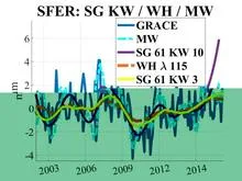
Imagine sensitive scales scattered across Europe. Each GPS station is one such scale, recording daily how much the ground beneath it has risen or fallen. When water accumulates underground, the surface sags slightly; when water leaves, the surface lifts. These movements are tiny, on the order of millimeters, but the stations pick them up.
Setting up an orchestra without a conductor: the algorithm itself decides which instruments (basis functions) and at what volume (weights) should play to reproduce Earth's gravitational symphony.